Mississippi River Flight - Day Three - Part Two
Forest Lake, Minneapolis to Washington, Iowa
|
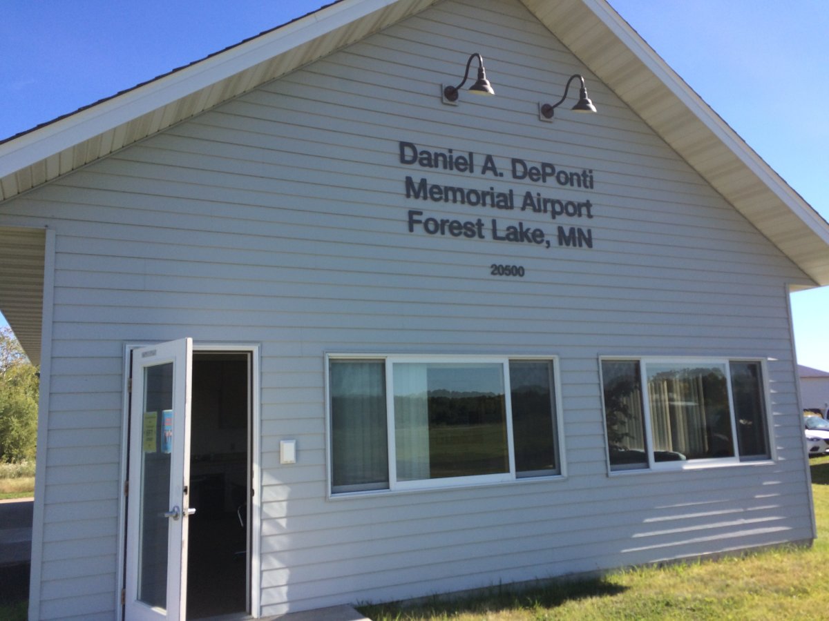
| The Forest Lake terminal. I don't think they had a courtesy car but they did have bathrooms and some confortable chairs to relax in. |
| |
 |
|
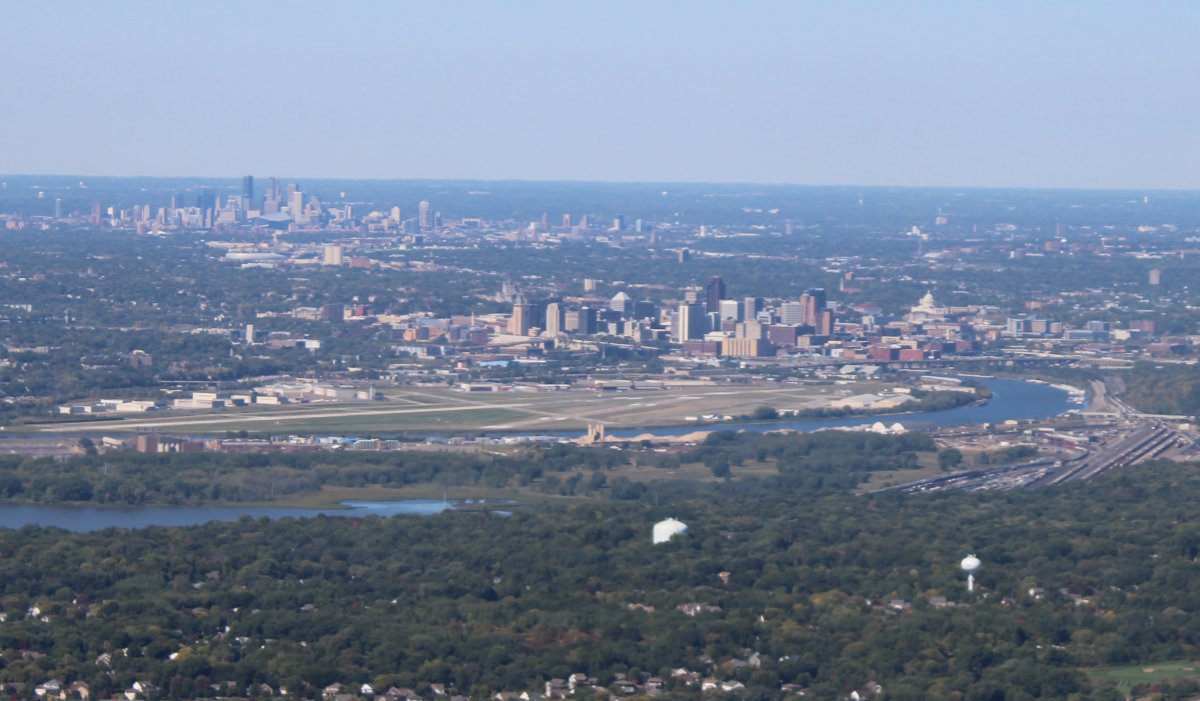
| A good shot of Minneapolis at upper left and St. Paul at center. St. Paul Downtown Airport -- which has a control tower -- is on the other side of the Mississippi River. I probably could have gotten permission from Air Traffic Control to fly the river at 1,000 feet or so but I didn't feel like going through bother. |
| |
 |
|
|
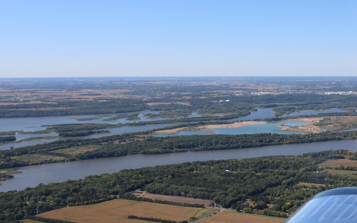
I angle back to the river just southeast of the Twin Cities. I am beginning the Upper Mississippi navigaable channel portion which begins in Minneapolis and ends in St. Louis.
|
| |
 |
|
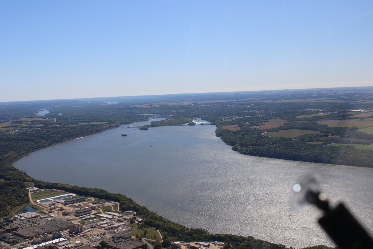
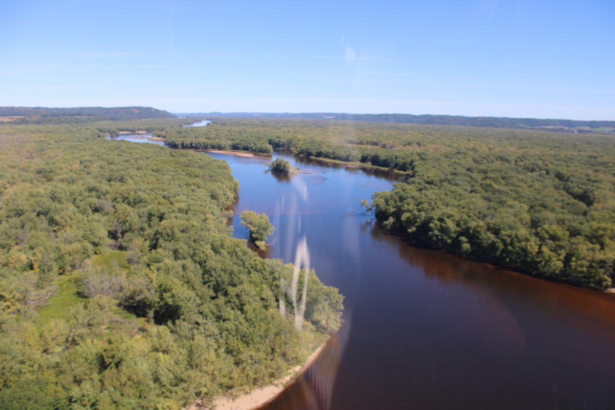
| Heading southeast. The river is big now. |
| |
 |
|
| The Chippewa River flows into the Mississippi from the north at lower left. Notice the contrast: the Chippewa is olive drab and the Mississippi is blue. |
| |
 |
|
|
I see my first barge/towboat rig! This would be the first of many I would see on the river.
I have a hard time with the name "towboat" for the boats that "push" barges. But this is the terminology that is used: barges are towed by tugboats or pushed by towboats.
Compared to a towed barge, a pusher system has improved handling and is more efficient, as the pushing tug becomes "part of the unit" and it contributes to the momentum of the whole.
Barges are used today for low-value bulk items, as the cost of hauling goods by barge is very low. Barges are also used for very heavy or bulky items. A typical American barge measures 195 by 35 feet, and can carry up to about 1,500 short tons (1,400 t) of cargo.
|
| |
 |
|
|
The Mississippi River is on the left. I'm flying over North Lake with Sturgeon Lake ahead.
|
| |
 |
|
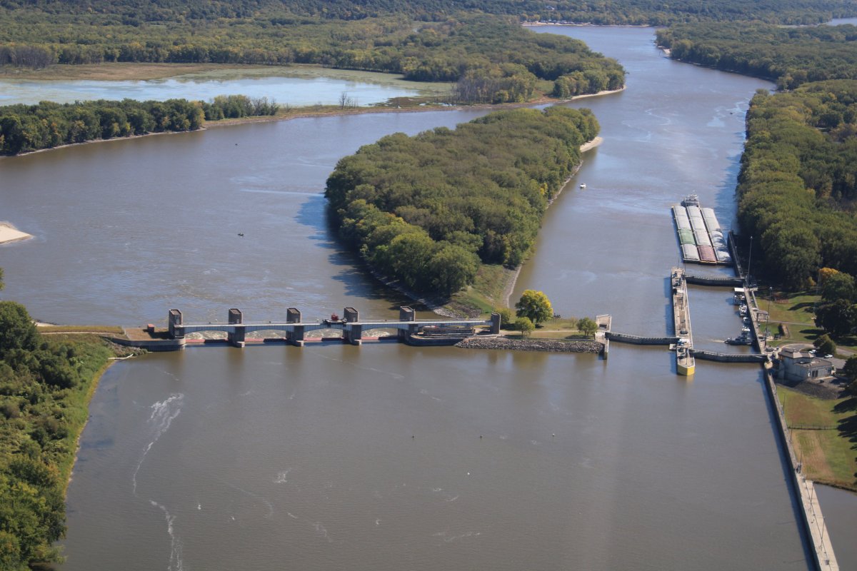
| My first close look at a lock and dam. Dam on the left. Lock on the right. A multi-barge/towboat rig is approaching the lock heading upstream. This is Lock & Dam #3. |
| |
 |
|
Red Wing airport is in sight at left. I made an overnight stop at Red Wing back in 2010 returning from my Lewis & Clark long cross-country. Link. |
| |
 |
|
| Looking back over my right shoulder at Red Wing, Minnesota. Yes, the airport and town are on opposite sides of the river. |
| |
 |
|
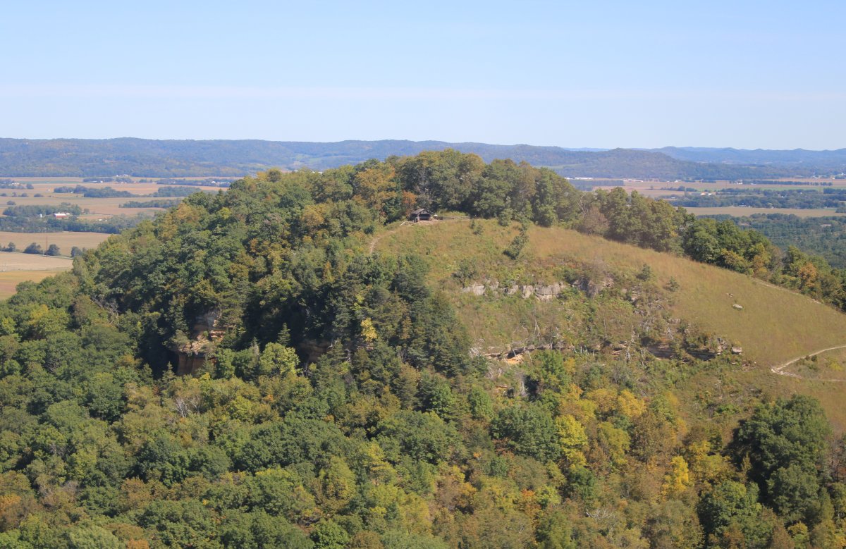
| There was a bluff on the south side of the river so I checked out the plateau on top. |
| |
 |
|
| Cruising down the river and taking pictures when it gets scenic. |
| |
 |
|
|
The Buffalo River joins the Mississippi from the northeast.
|
| |
 |
|
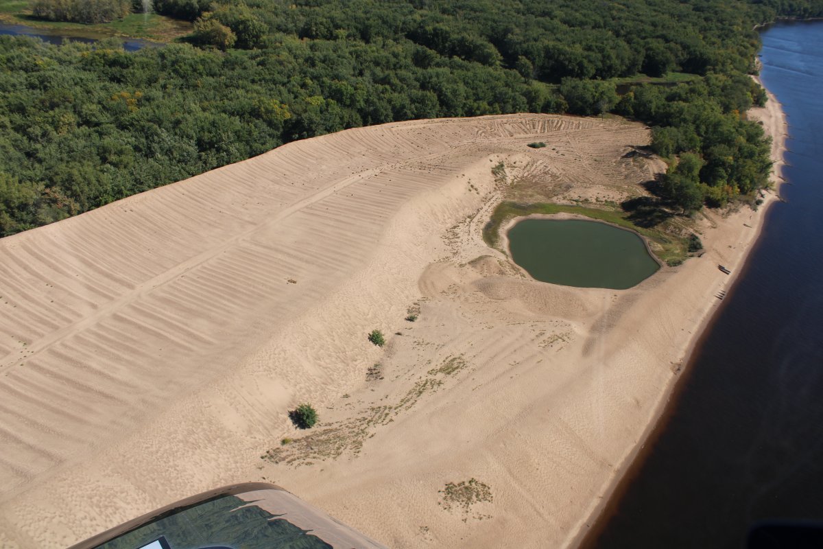
| A huge bluff of sand on the left bank. |
| |
 |
|
|
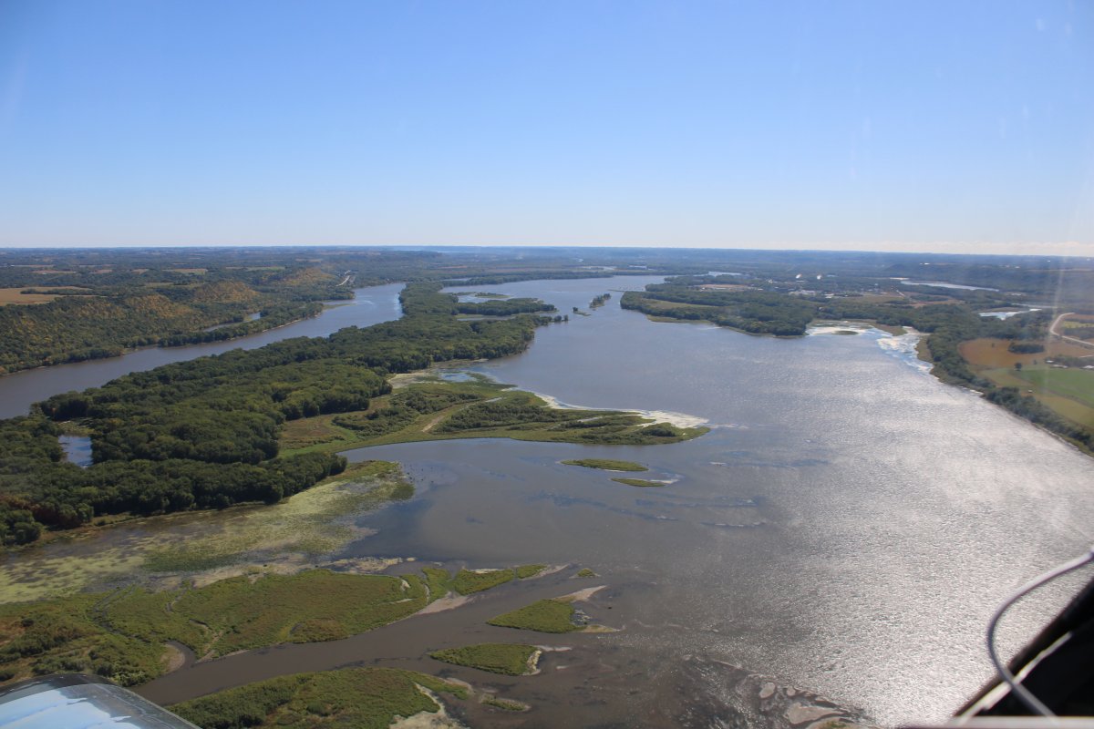
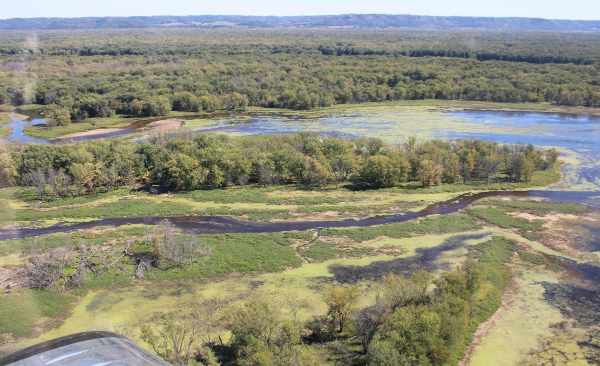
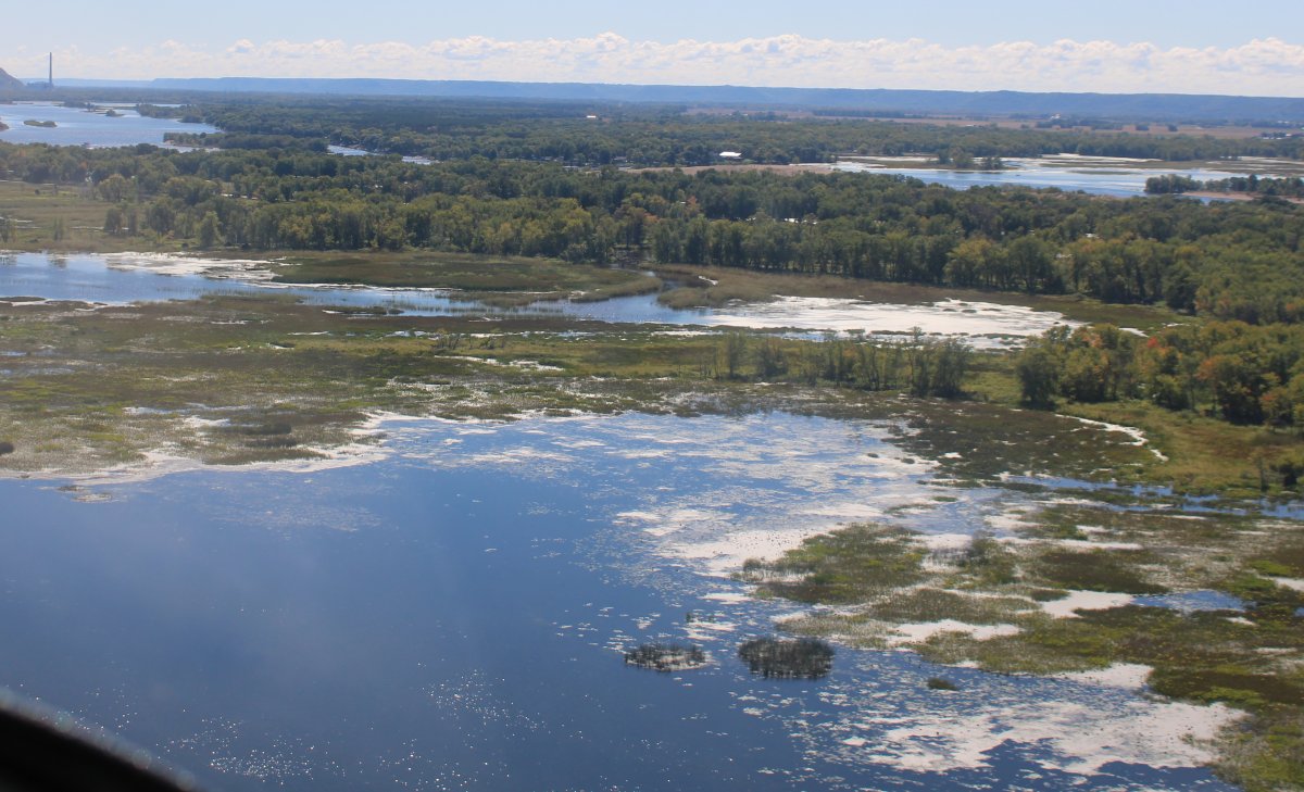
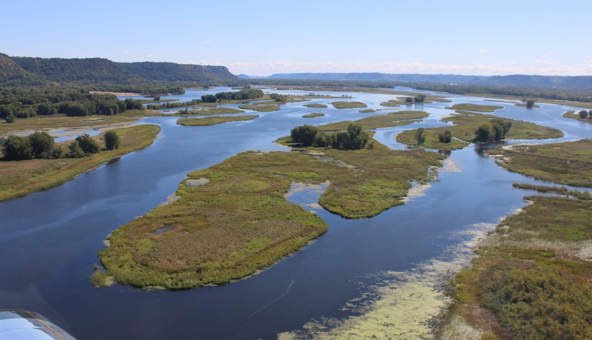
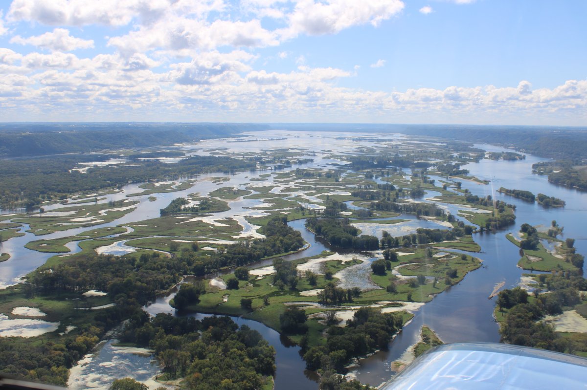
The river becomes a large delta. I'm guessing this is a fisherman's paradise.
|
| |
 |
|
| The navigable channel is visible on the right side. |
| |
 |
|
| |
| |
 |
|
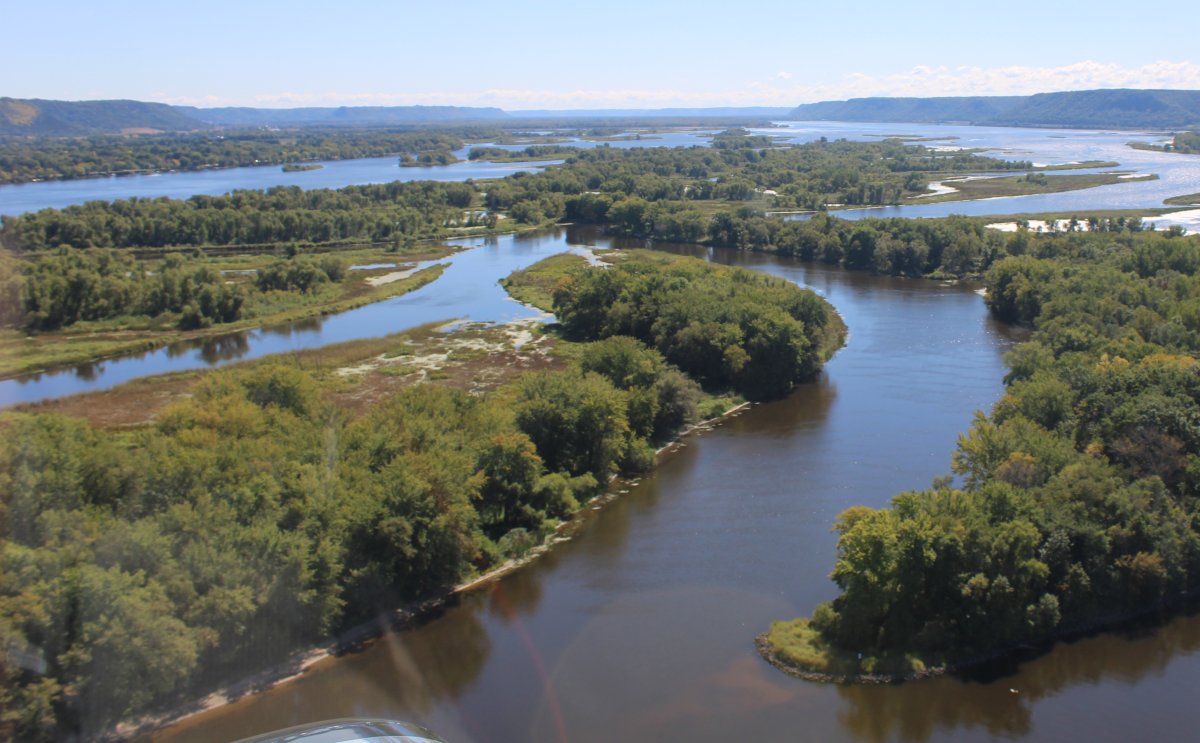
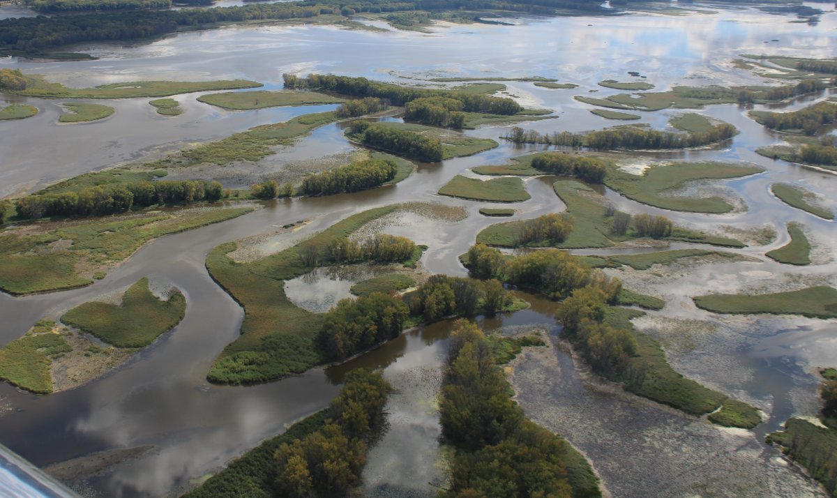
| A good size island in th emiddle of the river. |
| |
 |
|
|
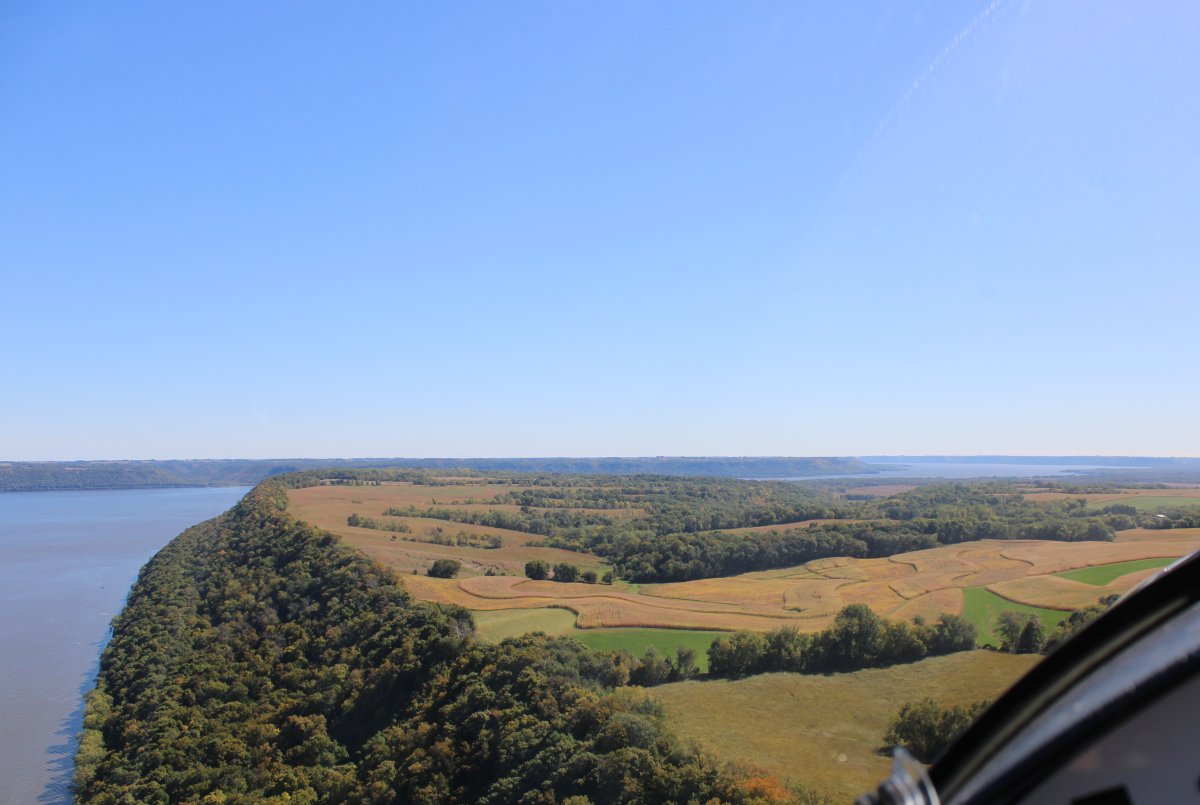
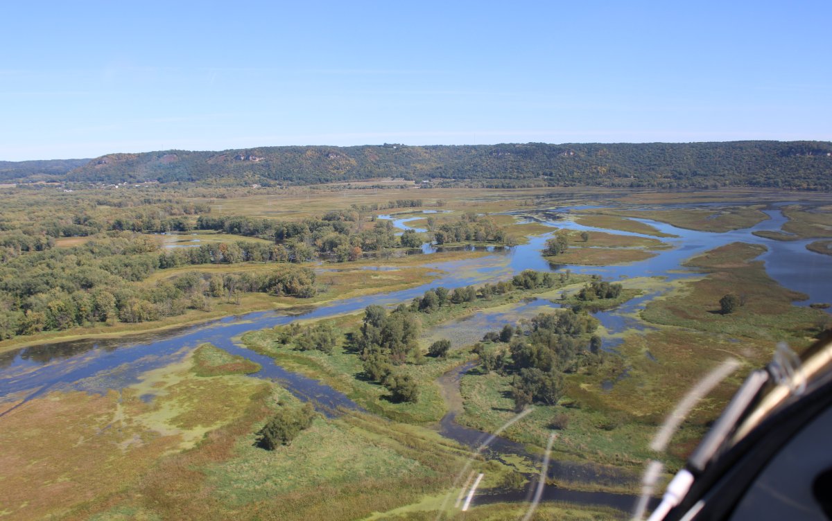
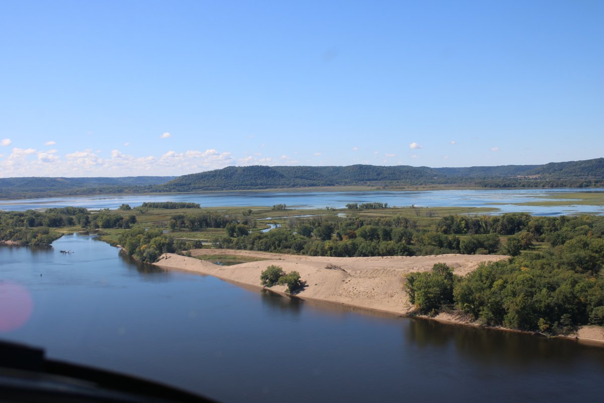
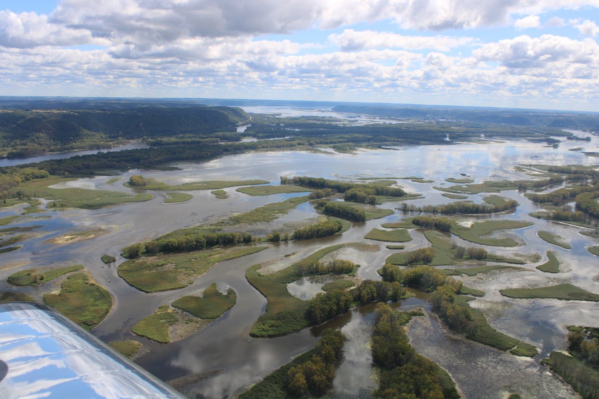
The river seemed to be flowing through a wide valley at this point, with bluffs on each side.
|
| |
 |
|
|
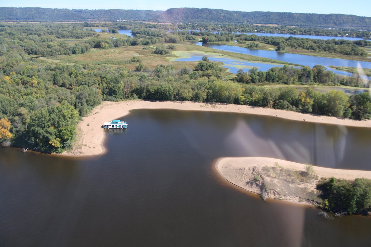
A houseboat enjoying a secluded beach on one of the many river islands.
|
| |
 |
|
| I felt like I was flying out west, not Minnesota/Wisconsin. |
| |
 |
|
| P32 |
| |
 |
|
| P33 |
| |
 |
|
|
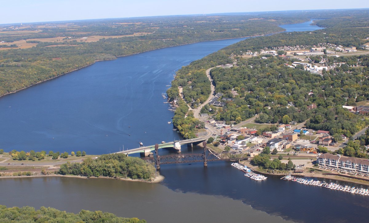
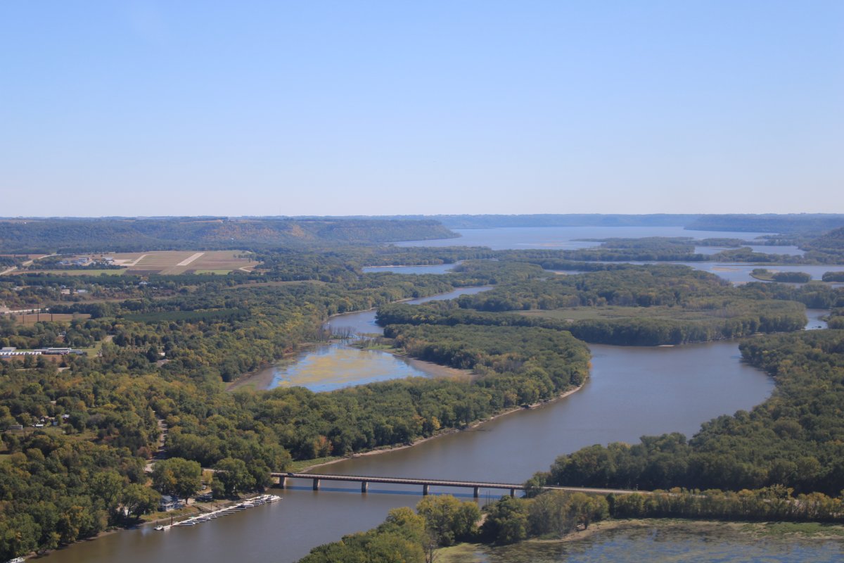
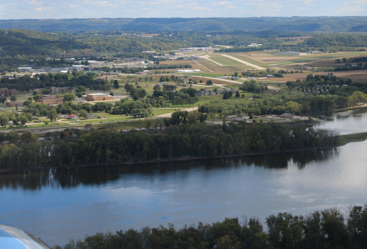
Approaching Winona, Minnesota on the right (west bank).
|
| |
 |
|
|
|
| |
 |
|
| |
| |
 |
|
| |
| |
 |
|
| |
| |
 |
|
|
Passing by Prairie du Chien Municipal Airport (KPDC), Wisconsin.
|
| |
 |
|
|
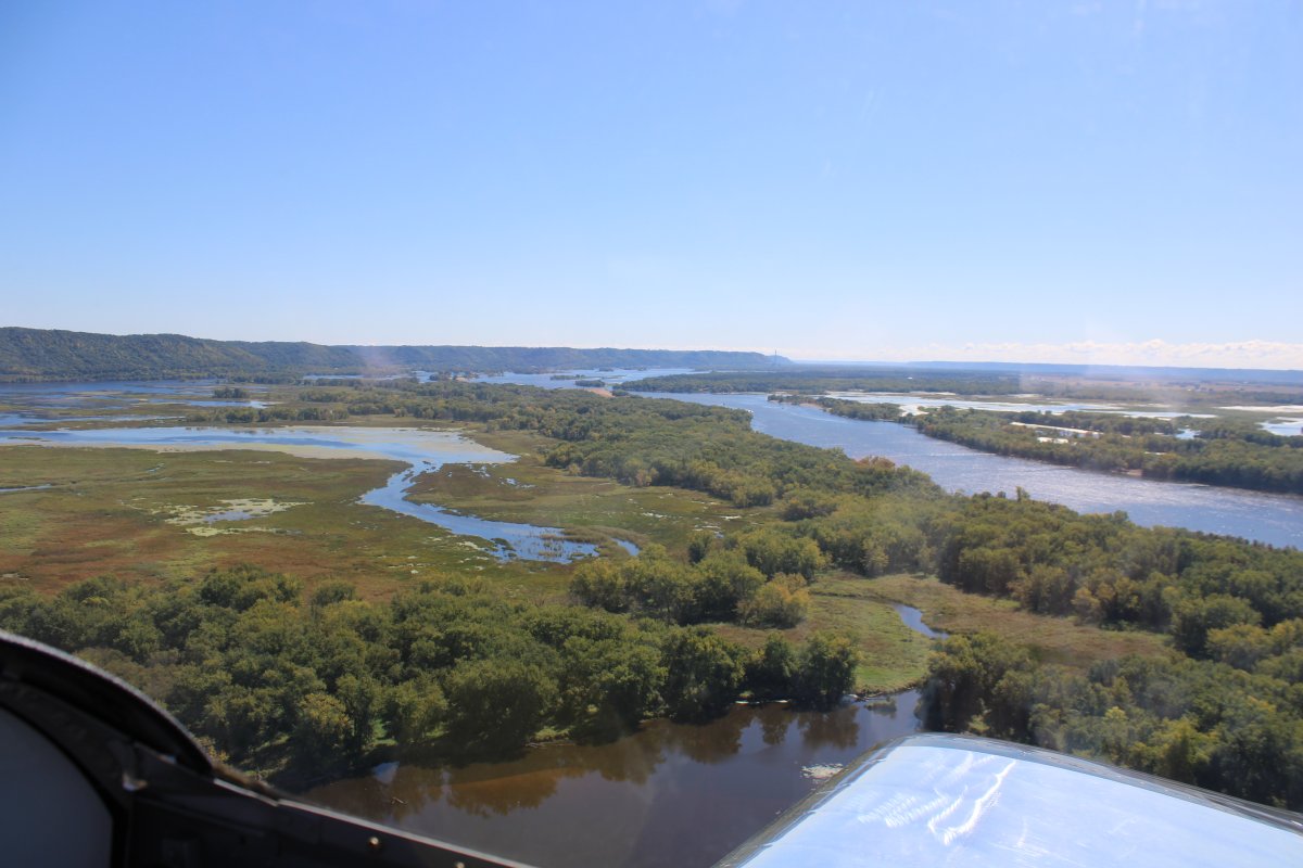
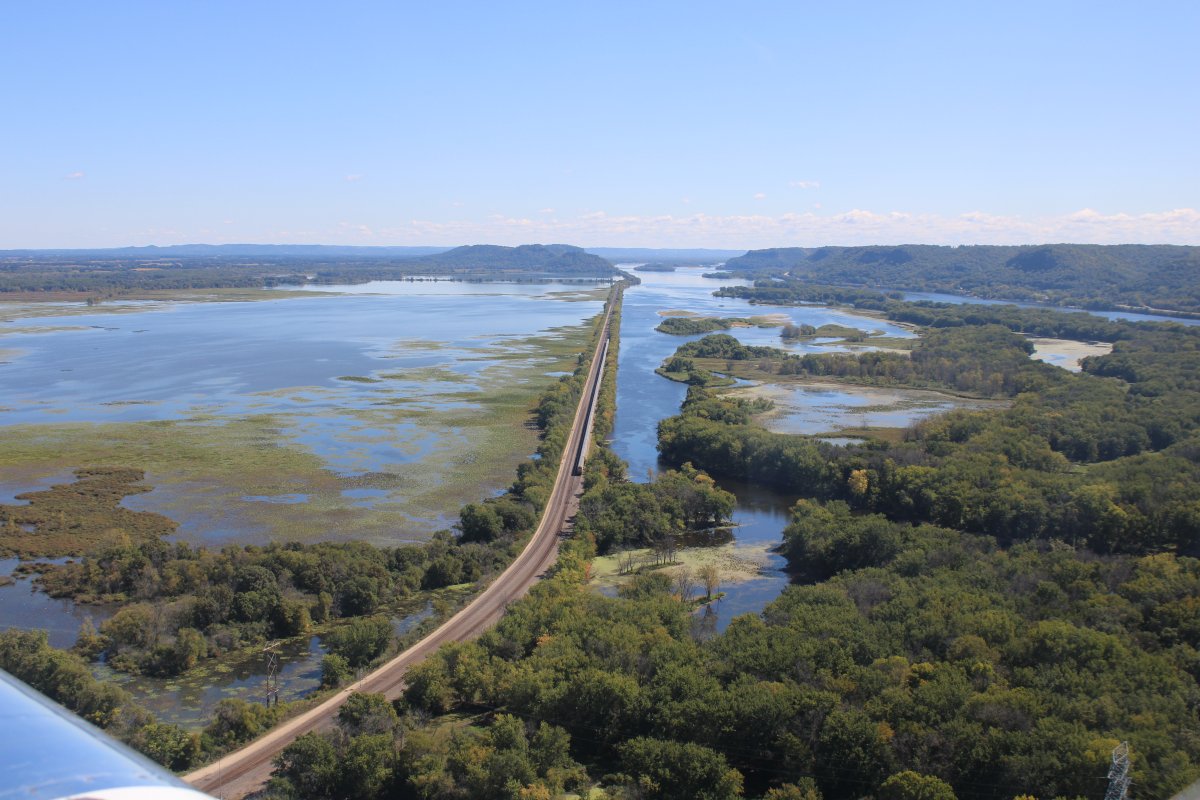
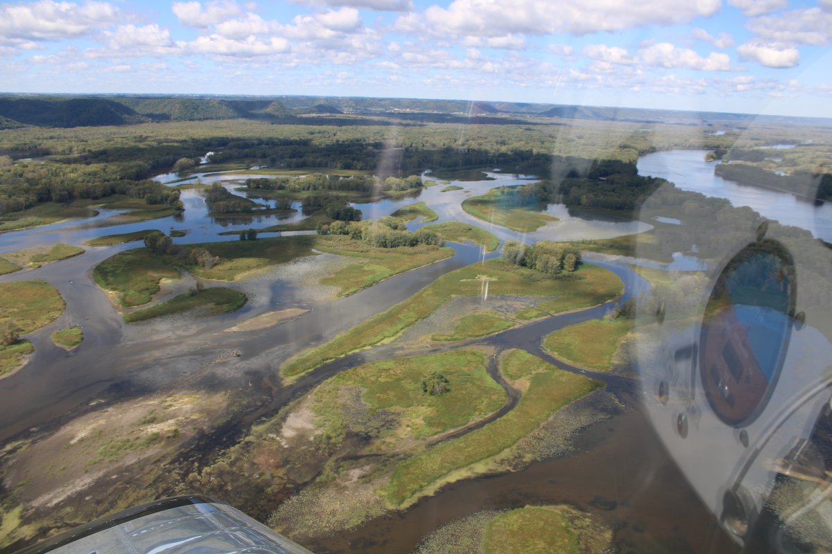
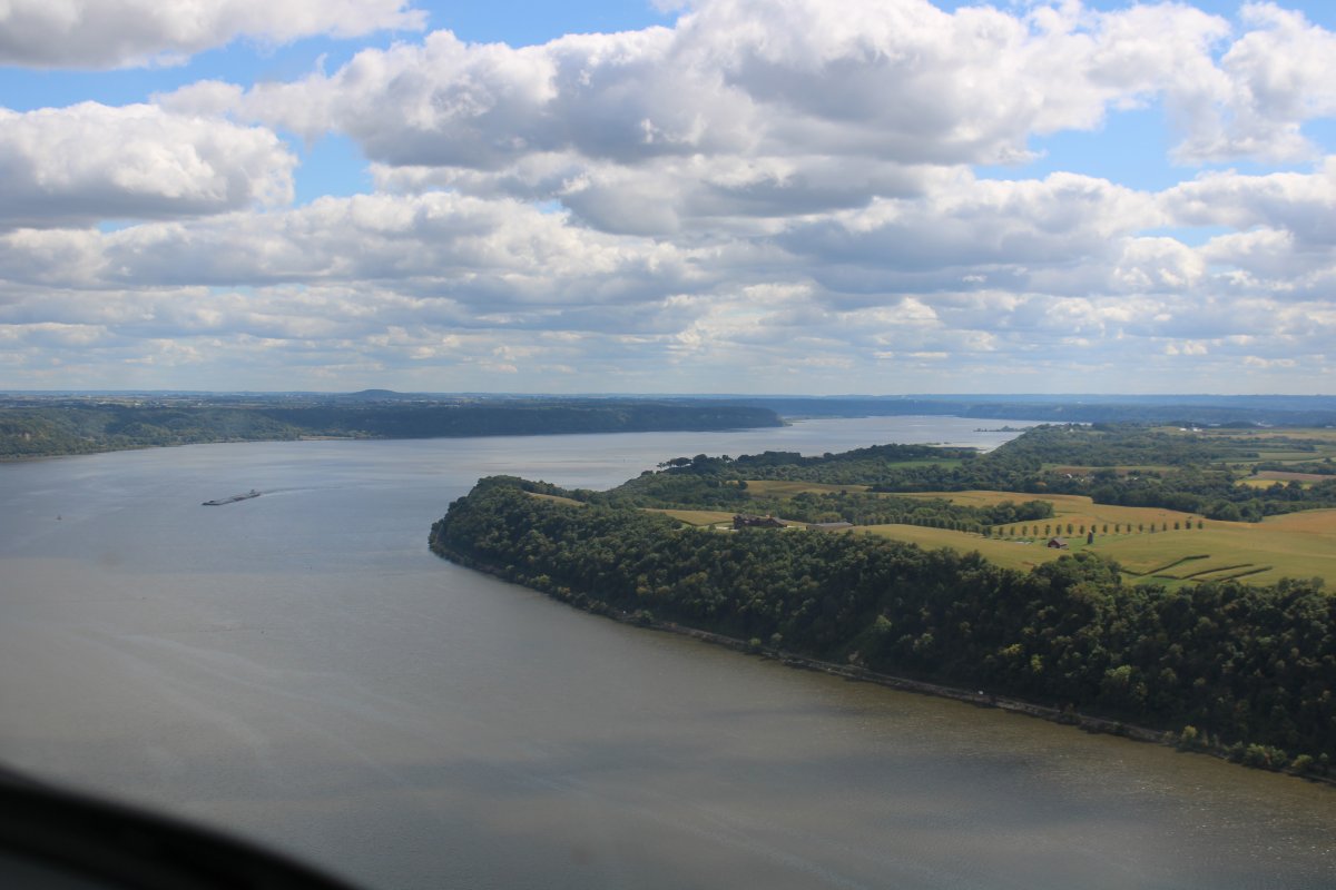
A bend in the river with no islands or sidestreams.
|
| |
 |
|
|
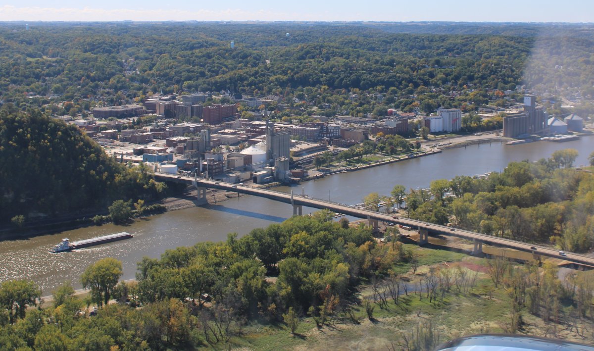
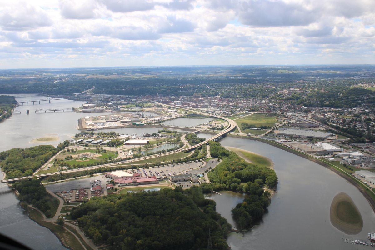
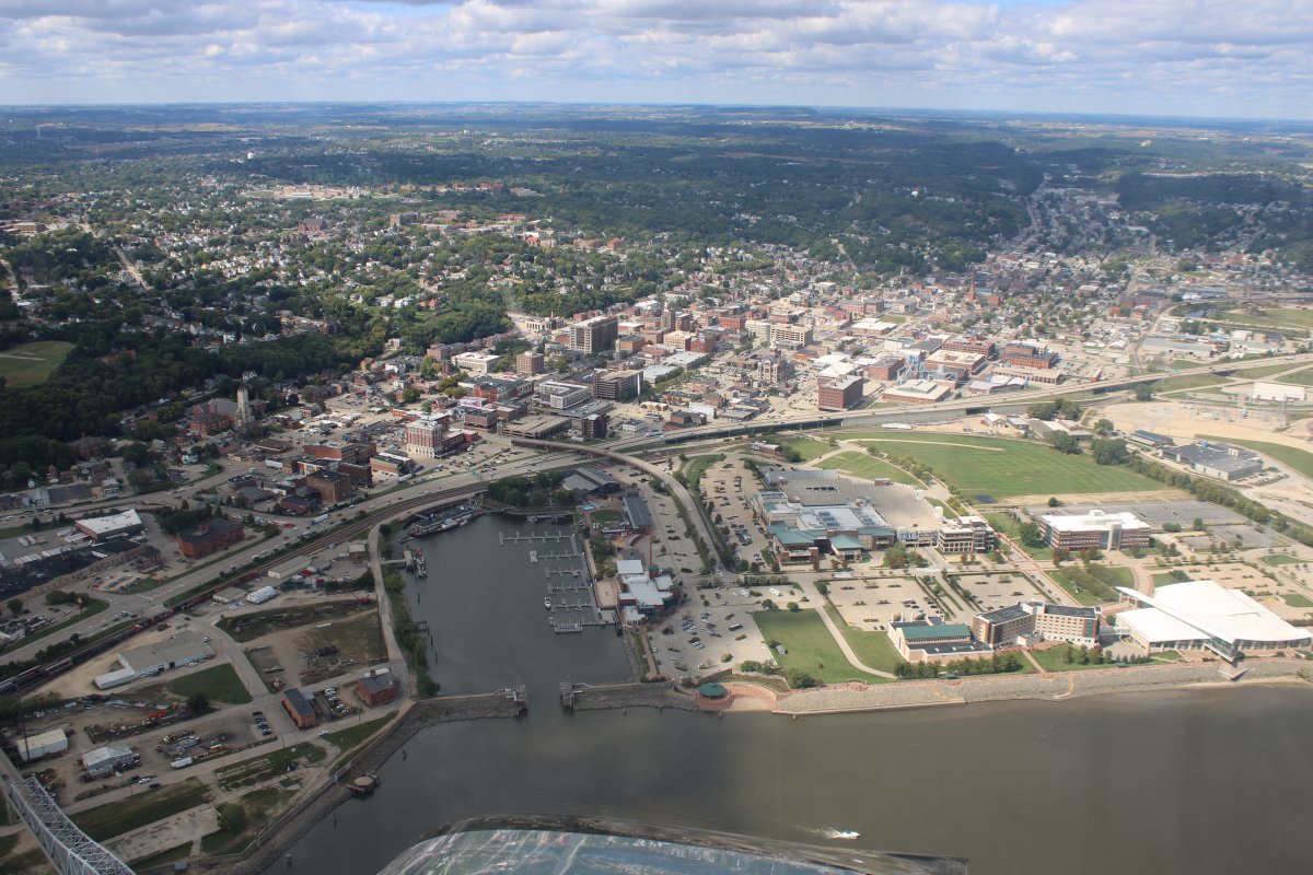
Approaching Dubuque, Iowa.
|
| |
 |
|
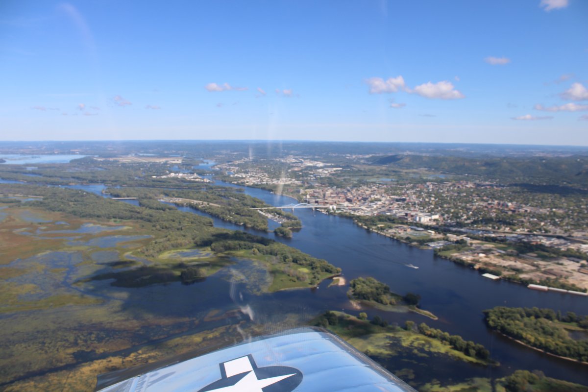
| Looking down at Dubuque Harbor. At the upper right-hand corner of the habor is a National Mississippi River Museum & Aquarium that could be interesting. |
| |
 |
|
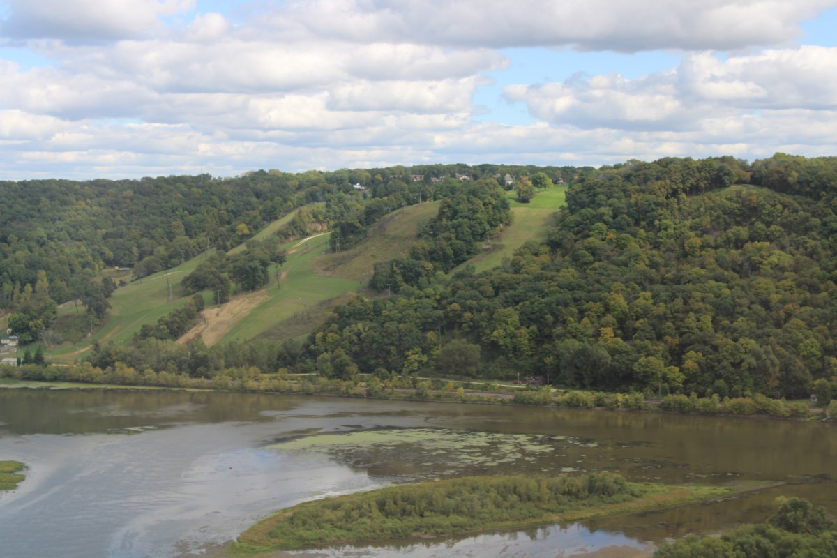
| Is that a ski resort on the east bank? |
| |
 |
|
|
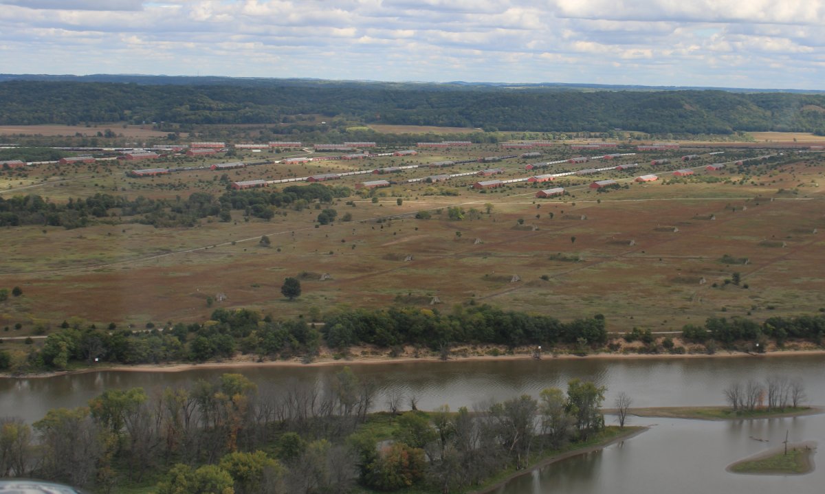
Passing by the huge, abandonned Savanna Army Depot on the east bank in Illinois.
From World War II through Vietnam, Savanna Army Depot served as a munitions maintenance and storage facility for traditional, chemical, and nuclear weapons. The Depot was closed on March 18, 2000.
|
| |
 |
|
|
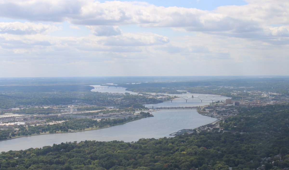
Approaching Moline, Illinois on the left and Davenport, Iowa on the right. I had to fly on the right side of the river to stay out of some Class C airspace.
|
| |
 |
|
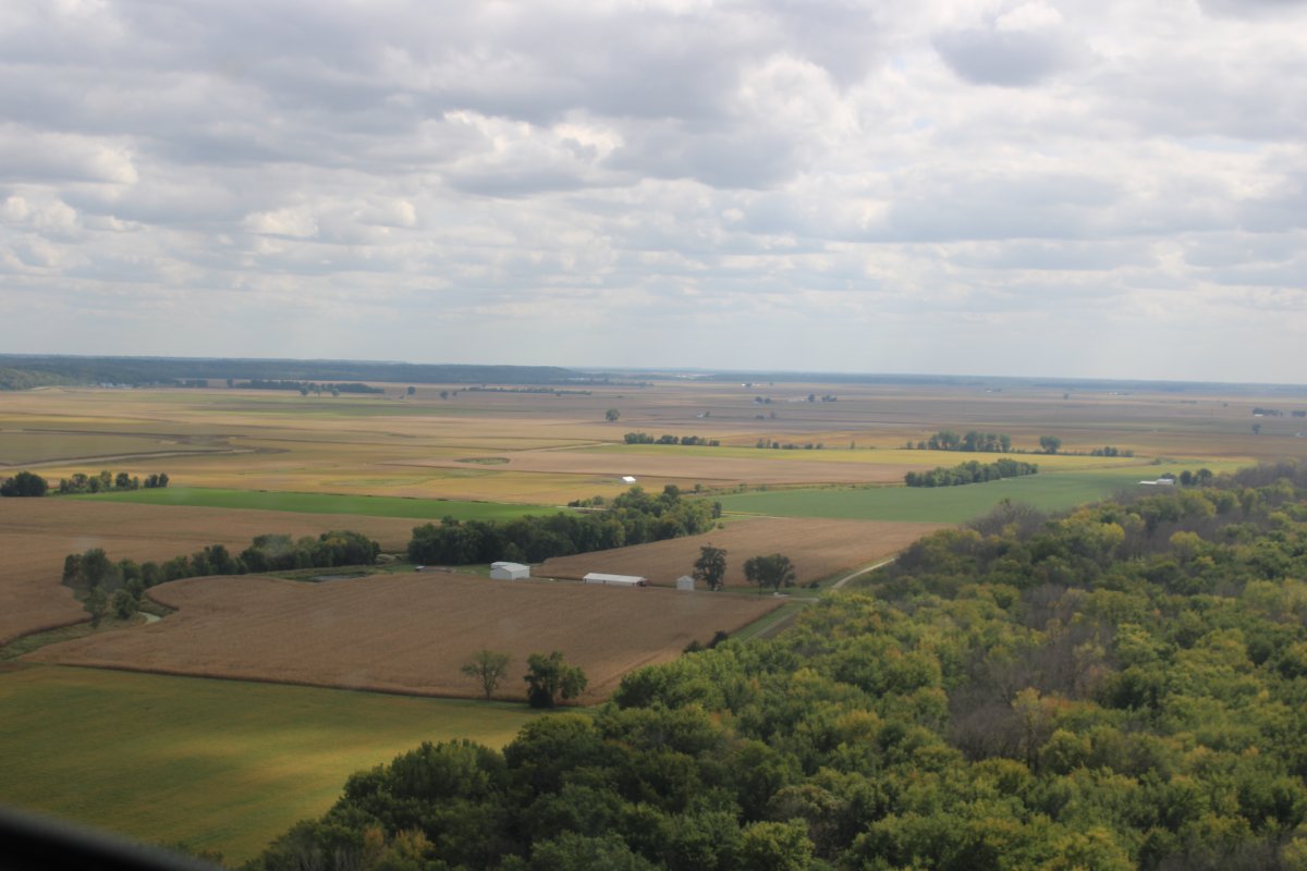
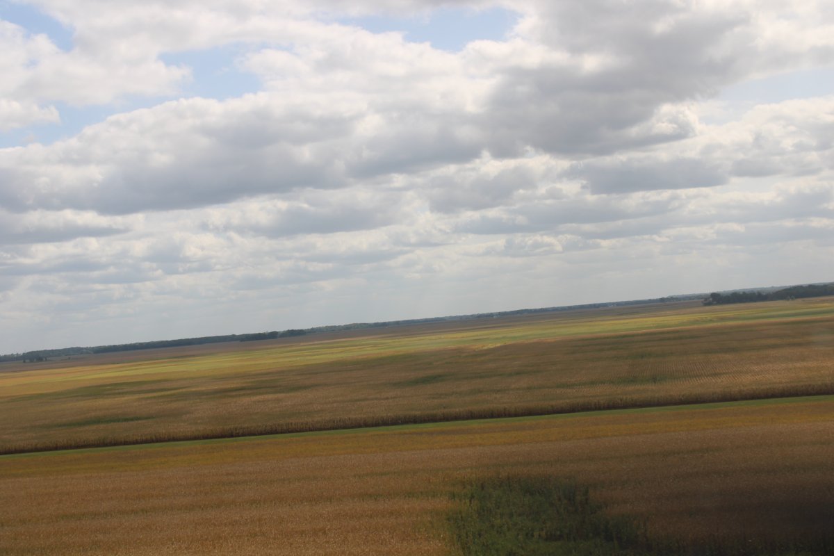
| I started seeing big, open fields on the sides of the river. |
| |
 |
|
|
P48
|
| |
 |
|
|
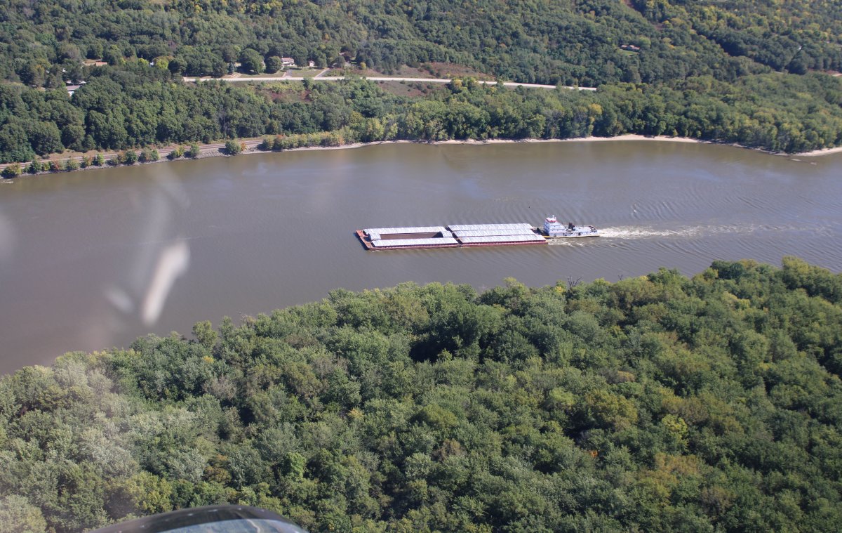
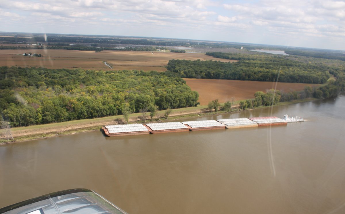
This barge/towboat rig is angled in to the shore. I assume this is how they "park" it temporarily.
Notice towboat is now pushing 15 barges.
|
| |
 |
|
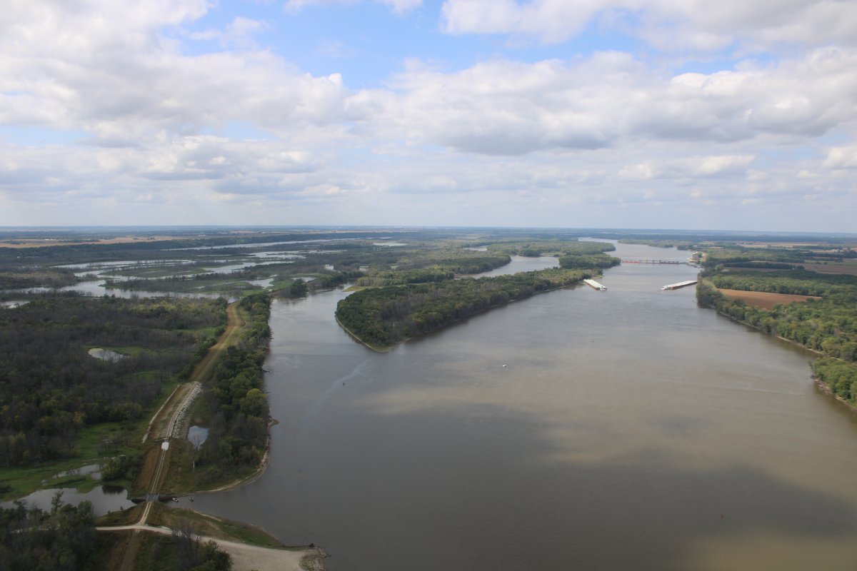
| Continuing down river. Two barge/towboats are "parked" on each side of the river. |
| |
 |
|
| The Iowa River joins the Mississippi from the west. At this point, I left the Mississippi and flew the Iowa River west, heading for Washington, Iowa which was my stop for the day. |
| |
 |
|
|
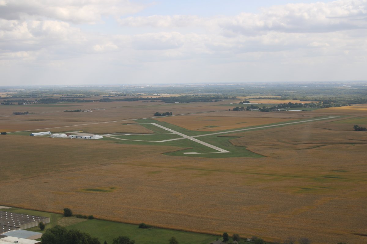
Washington Municipal Airport, Iowa. You can't see the town of Washington because I am over it.
|
| |
 |
|
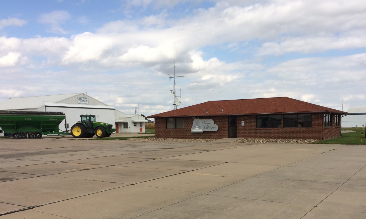
| The terminal at Washington Muni Airport. The airport is unattended but they have everything you need: courtesy car, nice facility, inexpensive self-serve AvGas ($3.65). |
| |
 |
|
|
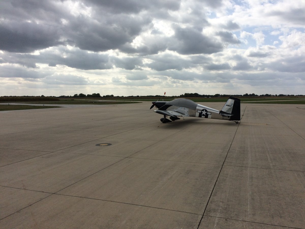
My trusty plane all by its lonely self on the large ramp. I stayed at an inexpensive motel in town -- that's the only kind this small town has. I had dinner at "Pizza Ranch" which is a chain that serves fried chicken and pizza buffett style. It was pretty good! It was my only big meal of the day which would be the norm for this trip.
I always topped off the RV with fuel after landing, cleaned the canopy of bugs, checked the oil, etc. so the plane was ready to fly in the morning.
|
| |
 |
|
| |
| |
| |
|
|
|
|
|
|